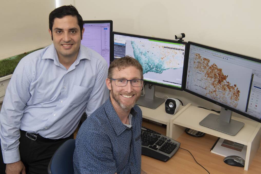
MITIGATING the risk of wind and water erosion in Western Australia is being boosted by a new project to track groundcover in cropping areas using satellite imagery.
While there are several, high quality national satellite monitoring models available to measure ground cover and growth, they are not finely adapted to Western Australian conditions.
Department of Primary Industries and Regional Development (DPIRD) research officer Justin Laycock said field observations were collected to improve the agreement between field measurements of ground cover and estimates based on satellite images.
"In April 2019 we assessed 139 field sites for ground cover using a national sampling protocol and found a weak relationship with the satellite imagery, in some areas, related to soil colour and gravel at the surface," Mr Laycock said.
"The national products being used from the Joint Remote Sensing Research Program were designed for use in the rangelands so included limited field sites from the WA agricultural area.
"We are comparing our observations with the image products to find when and where the satellite imagery and the field assessments do not match up.
"Once we understand where the products perform well, and not so well, we can work on how to calibrate the products to WA conditions to get more accurate results.
"We have also supplied our data back to the developers to improve future products."
Once the accuracy of the satellite imagery products has been verified, these images will be incorporated into the department's internal land assessments.
Mr Laycock said the improved data would assist DPIRD's work with landholders to understand changes in the level of ground cover and how to reduce the risk of wind and water erosion on their properties.
"Farming practices to conserve topsoil have improved significantly over the years but there are still incidences of wind and water erosion every year - particularly after below average rainfall growing seasons like 2019," he said.
"Our 2019 autumn survey identified 12.4 per cent of the grainbelt had less than the recommended 50 per cent ground cover, compared with the 10 year median of 11.9pc.
"This new monitoring system will help the department to more accurately identify areas that are experiencing changes in ground cover and to work with landholders whose paddocks may be at risk of erosion."
The ground cover measurement system will also improve the integrity of reporting data to the Soil and Land Conservation Commissioner.
DPIRD recommends paddocks have at least 50 per cent ground cover by the start of winter to prevent wind erosion and at least 70pc for water erosion.

