CATEGORISING and assessing the level of groundcover over summer and autumn by using ground truthing satellite data is the aim of a new West Midlands Group (WMG) project.
Throughout the West Midlands region, there has been a shift of focus as discussions begin around managing bare ground and improving year-long feed options.
The new Remote Sensing Pasture Project aims to reduce the area of land which is exposed to wind erosion that is often associated with a loss in groundcover through overgrazing of farm paddocks by livestock during the summer/autumn.
WMG technical officer Melanie Dixon said sandy soil types which dominated the region were highly prone to wind erosion, so management and prevention of wind erosion was a priority for local land managers.
"Wind erosion events can degrade soil health, with less organic matter and essential nutrients paddock productivity can be decreased," Ms Dixon said.
"By maintaining at least 50 per cent groundcover, the impact of wind erosion is significantly reduced.
"We're aiming to aid growers in better qualifying when livestock should be removed from wind erosion risk pasture paddocks to maintain groundcover without disadvantaging the profit or productivity of the farming enterprise."

In stage one, conducted between January and May, 10 producers and 14 paddocks were selected on farms which have different livestock management practices and varying degrees of impact on the amount of groundcover present during the summer/ autumn period.
Some sites were established perennials, nature pastures, crop stubbles to be grazed or warm season crops.
There was a variety between cattle, sheep and mixed farming systems involved in the project.
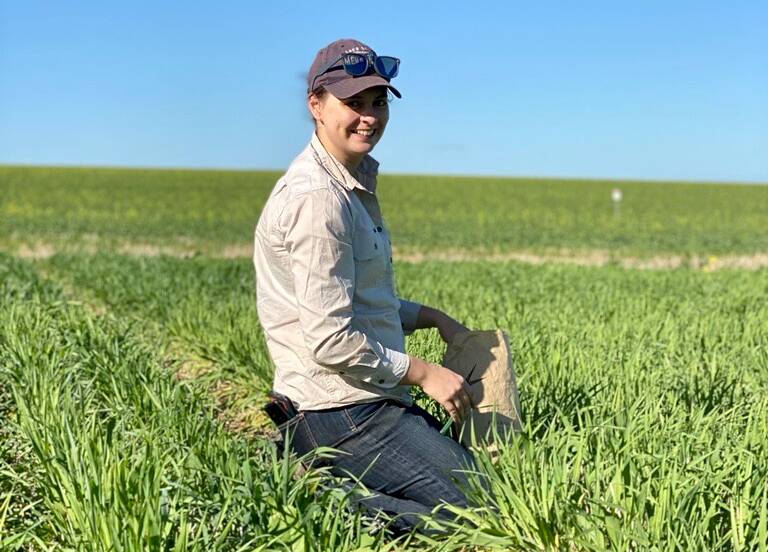
Across three 100 metre transects, 300 individual points were taken in monthly intervals to categorise the type of groundcover or lack thereof.
Other forms of data are collected to strengthen the project, including satellite imagery, drone photography and grower experience.
Due to the nature and aims of the project, there was an increased focus on understanding current farmer practises and how satellite imagery can assist growers in the summer/autumn period.
For this reason, the data recorded was essential for ground truthing satellite imagery and understanding groundcover trends.
Ms Dixon said the 2021/22 summer was extreme, with high temperatures and no summer rains, meaning groundcover at some sites began to rapidly decrease before the break of the season.
"Perennial grasses shown within these demonstration sites in the West Midlands region still provide an important food source for livestock, despite these summer conditions lessening their productivity and nutritional quality," she said.
READ MORE:
"Growers who utilised perennial pastures within their grazing systems were required to monitor these pastures to prevent overgrazing, similar to annual pasture management in the growing season.
"Land managers who did not have a perennial pasture stand available, would have to employ other feed management strategies to prevent excessive soil and groundcover degradation."
Sites which were more prone to low groundcover were usually natural pastures which required a rain event for seed bank germination, whereas sites which maintained high groundcover were more likely to be perennial pastures stands.
However, no matter the pasture composition, the late March rainfall and continued rain events heading into the season saw an increase in groundcover as green feed became more available.
The project has now moved on to its second phase which involves WMG working directly with farmers who are looking to increase their use of satellite imagery for making onground decisions.
"Speaking to growers in the region, satellite imagery is used and our growers are curious, regularly checking over their paddock online," Ms Dixon said.
"However, growers are not using satellite imagery to aid in decision making and management of livestock.
"Satellite imagery is a great tool to confirm what you see in the paddocks, because it is an unbiased tool - if the paddocks are looking a little low on groundcover, it is a good indicator to go check out the paddock and start considering other options for the livestock."
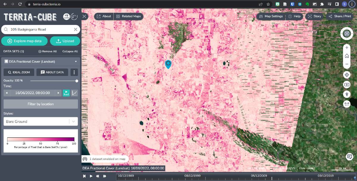
In order to make accessing satellite imagery a little easier, with fewer pain points, MWG has created a user manual for the online map-based tool Terria-Cube, the first iteration of which is available on the WMG YouTube page.
While the manual will not directly increase groundcover, it will enable land managers to better implement management strategies which have a direct and positive impact on groundcover in the region.
Terria-Cube is online, completely free and has the most up to date satellite data that passes over the region, making it a fantastic tool for quantifying groundcover over the summer/autumn period and aiding in grazing management decisions.
Ms Dixon said there were a lot of options online for viewing satellite data and they were usually incredibly interactive and useful for farmers.
"Choosing the program that will work for your farming enterprise will depend on what you are looking to understand from satellite imagery," she said.
"For example, Pastures From Space can give food on offer estimates for properties and show historical data."
Terria-Cube is a great tool for understanding the summer/autumn feed gap because the data is regularly uploaded and quickly available, meaning farmers don't have to wait months for seasonal data.
It was also a great option for the Remote Sensing Pastures Project because the level of bare ground to photosynthetic material was quantified.
The ability to assess and monitor paddocks quickly and easily allows growers to swiftly mobilise alternate grazing options, protecting soils in the region without adversely affecting the productivity of livestock.

