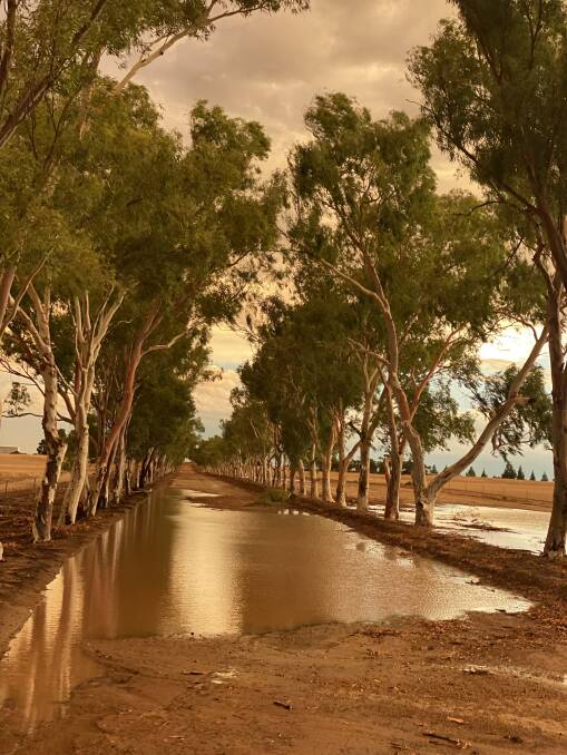
RAIN, hail and fire - this last week has felt a little more like the apocalypse, as the bottom end of the State was ravaged by fires and the top end has continued to receive heavy rainfall.
Subscribe now for unlimited access to all our agricultural news
across the nation
or signup to continue reading
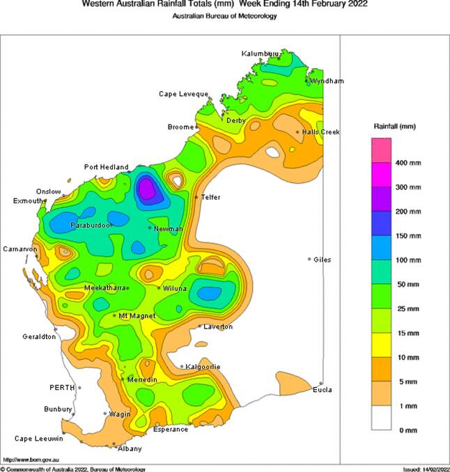
Over the weekend the Pilbara and Gascoyne regions had 20 to 40 millimetres widespread and a few isolated falls of about 60mm.
"Most of the heavy falls were over the Pilbara and Gascoyne region over the weekend," said Bureau of Meteorology (BoM) duty forecaster Luke Huntington.
"Places through the Great Southern, Wheatbelt and Esperance area only got about five to 15mm from the Friday night thunderstorms."
The lightning experienced in last weekend's thunderstorms also caused six bushfires which burnt through an area of about 4564 hectares.
The rain finally shifted towards southern parts of WA, although a little too late for many of the fire-affected areas.

Monday was the most active day for thunderstorms, particularly over the western half of WA, including western Pilbara, Gascoyne and central northern parts of the south west land division.
There have been reports of Wongan Hills receiving about 45mm of rain and hail, while 27mm fell at Ghooli, 32mm hit north west of York, 23mm in South Yilgarn and Bruce Rock had 18mm.
Other areas with decent rainfall included 50-55mm in East Damboring, North Yelbeni 42mm, 40-45mm in West Kondut and over in East Ballidu there was a massive 68mm received.
At Shackleton, where one of the worst bushfires swept through last week, 25mm was recorded, helping to dampen some of the dust storms.
In other fire-affected areas some locations received rain, such as Babkin, however it was patchy with other nearby areas receiving nothing.
In the Kimberley, Lake Kununurra had 25mm, and Mud Springs received 17mm.
BoM said Monday's storms were due to a trough along the west coast in combination with a moist, unstable airstream across the western parts of the State.
As we move into the weekend, according to BoM signals, the weather should remain clear.
"Next weekend is looking pretty different, there is dry air over the State so it doesn't look like we're going to get more storms over most of the State, they will be confined to the Kimberley region," Mr Huntington said.
The rainfall is a good starting point for many farmers, as they prepare for seeding in the months ahead, hopefully restoring some of the soil moisture that was removed by the devastating bushfires from the past two weeks.
Want weekly news highlights delivered to your inbox? Sign up to the Farm Weekly newsletter.

