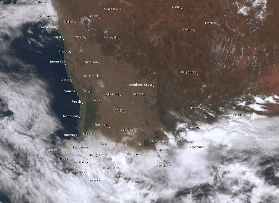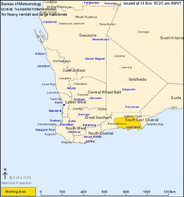
The Bureau of Meteorology has issued a severe weather warning as thunderstorms with possible heavy rainfall and large hail is moving south towards the South East Coastal region.
The storm is currently developing to the north of Esperance, and is expected to continue into the late afternoon.
The storm began on Sunday in the Geraldton area, bringing rainfall totals in the double digits across the Mid West and Wheatbelt regions.

A spokesperson from the Bureau said it was common for small hailstones to accompany storms, and large hailstones are far less likely, however the conditions are increasing the chances of large hailstones forming.
"Summer afternoon storms used to be very common, however in recent years we haven't seen as many as there used to be, and this is due to climate drivers influencing regular weather patterns," the spokesperson said.
The Bureau also reported there would be more storms developing across the Wheatbelt, Great Southern and Goldfields regions, bringing lightning, dusty winds and more rainfall.
A spokesperson said it was unlikely the lightning strikes from these storms around the Esperance area would be a fire hazard given the expected rainfall to follow on.
However there was more of a chance of dry lightning in the Mid West and Gascoyne regions, which could potentially be a fire hazard.


